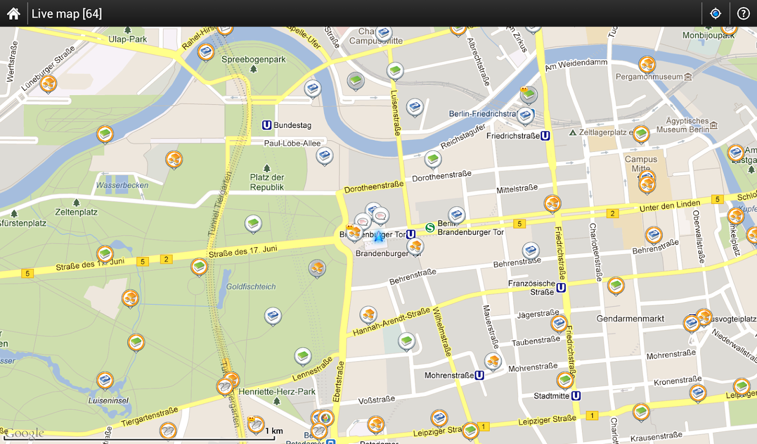
GPS outdoor navigation app for hiking, geocaching, sport activities and your everyday life. Download many types of
cycling and hiking maps for off-line usage. Powerful system for geocaching, intelligent GPS for long battery life and
many more
➤ Online maps
- Openstreetmap - OSM, Freemap, SHOCart, SmartMaps, MapQuest, Navigasi, Turaterkep, NzTopoMaps, Osmapa.pl, ChartBundle
- Openstreetmap - OSM, Freemap, SHOCart, SmartMaps, MapQuest, Navigasi, Turaterkep, NzTopoMaps, Osmapa.pl, ChartBundle
and more
- most of them are downloadable for offline usage without cell coverage
- full WMS maps support
- most of them are downloadable for offline usage without cell coverage
- full WMS maps support
➤ Offline maps
- Vector maps (for a low fee) for city, car, hiking, cycle, ski - downloadable by in-app billing
- support for formats SQLite, TAR maps, MBT maps, GEMF, RMAP, Orux, SmartMaps
- create own maps from OpenStreetMap data or custom themes
- Vector maps (for a low fee) for city, car, hiking, cycle, ski - downloadable by in-app billing
- support for formats SQLite, TAR maps, MBT maps, GEMF, RMAP, Orux, SmartMaps
- create own maps from OpenStreetMap data or custom themes
➤ Search
- by address, coordinates, own points, localized photos
- for places around by Google Places, Wikipedia
- by address, coordinates, own points, localized photos
- for places around by Google Places, Wikipedia
➤ Point of interest (POI) & Tracks
- handle unlimited number of points/tracks, categorize, sort, edit, import, export and much more
- handle unlimited number of points/tracks, categorize, sort, edit, import, export and much more
➤ Geocaching
- use Geocaching Live! service and add-ons to get full offline experience when you searching for caches
- support for waypoints, PocketQuery, trackables, spoilers
- use Geocaching Live! service and add-ons to get full offline experience when you searching for caches
- support for waypoints, PocketQuery, trackables, spoilers
➤ Track record
- unlimited possibilities for configuration
- custom styles for map, like color by altitude, by speed
- support for ANT+ sensor
- unlimited possibilities for configuration
- custom styles for map, like color by altitude, by speed
- support for ANT+ sensor
➤ Voice navigation & guiding
- full support for Online voice navigation
- voice & notification guiding on single waypoint (by compass or on the map) and along path
- full support for Online voice navigation
- voice & notification guiding on single waypoint (by compass or on the map) and along path
➤ Import/Export
- integration of GPSies, Breadcrumbs, Trainingstagebuch, Street View, Google Earth and others
- work with KML, KMZ, GPX, OpenAir, DXF formats
- integration of GPSies, Breadcrumbs, Trainingstagebuch, Street View, Google Earth and others
- work with KML, KMZ, GPX, OpenAir, DXF formats
➤ GPS
- special methods to handle GPS. Satellite screen with current situation, notification on GPS state, Bluetooth GPS,
- special methods to handle GPS. Satellite screen with current situation, notification on GPS state, Bluetooth GPS,
advanced system for disabling GPS when is needed to conserve battery
Version : 2.13.0
- Category : GPS & Navigation
- Size : 9482 kb
- click link to download
- http://adfoc.us/17523832280488
No comments:
Post a Comment